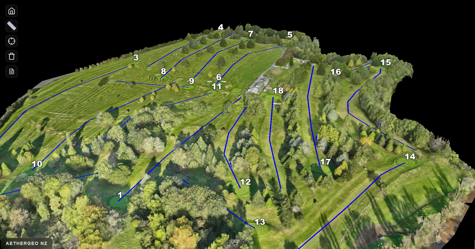
Experience New Zealand's golf courses through comprehensive 2D orthomosaic layers and pinpoint-accurate 3D enterprise models.
Our 2D interactive viewer is the central hub for all New Zealand courses. Featuring high-resolution orthomosaic imagery, it provides a flawless top-down perspective to plan your round and measure distances accurately.
Launch 2D MapLocate yourself in real-time on the 2D map using your device's GPS. Perfect for verifying your exact position on the fairway.
Plan your route easily. Click anywhere on the map to draw custom lines and calculate exact yardages to hazards or the pin.
View courses through crystal-clear, high-resolution orthomosaic drone imagery for an unparalleled top-down perspective.
Generate PDF maps of your course layout with a single click to share or print.
For courses demanding the highest level of detail, we generate immersive digital twins. Using state-of-the-art enterprise drones, we capture spatial maps accurate to the centimeter.
These specific models have their own dedicated viewers, easily accessible via the distinct pins on our national map.
Are you a course manager looking to bring your grounds into the digital age? Contact us to schedule an enterprise RTK survey.